Maps
Parris Island Marine Corps Recruit Depot Directions
Driving from the north
- Take I-95 until you reach South Carolina Exit 33. This will take you to Route 17.
- Take it until you reach Route 21 South toward Beaufort.
- From Route 21 South, you will make a right turn onto Route 280 shortly after passing Marine Corps Air Station Beaufort.
- Continue traveling for approximately 6 miles. Route 280 eventually turns into Route 802. You will see a sign for Parris Island.
- The off-ramp to Parris Island is on the right side of the road and it will take you to the front gate.
Driving from the south
- Take Exit 8 from I-95, this is US-278 E (going toward Bluffton/Beaufort/Hilton Head Island)
- Turn LEFT onto SC-141. (almost 4 miles)
- Turn LEFT onto SC-170 N/ Okatie Hwy and continue driving on this road for about 10 miles.
- Turn RIGHT onto Savannah Hwy / SC-802.
- Continue to follow SC-802, bearing right. (about 4 miles)
- You will see a sign for Parris Island.
- The off-ramp to Parris Island is on the right side of the road and it will take you to the front gate.
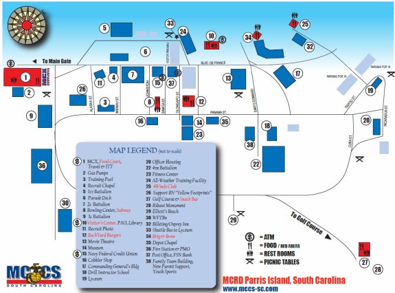
Map for Parris Island Marine Corps Recruit Depot